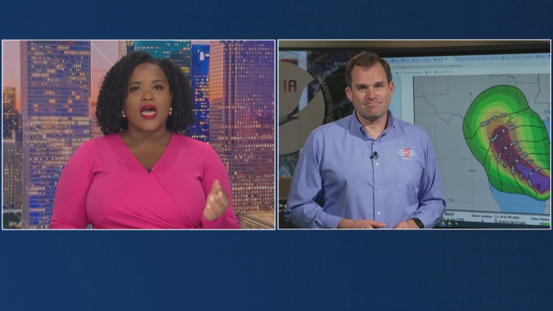
HOUSTON — There are two major parts to a hurricane forecast: track and intensity.
Over the past decade, forecasters have achieved large improvements in track forecasting. The forecast cone has gotten slimmer and more precise, giving us a more exact forecast of where the storm is going.
In fact, a new model called "HAFS" is showing promising results and may help improve the track forecast by an additional 10% to 15%. However, improving the intensity forecast part of the story has been slow and frustrating.
It's complicated. It's not just warm water. Sea surface temps 80 degrees or warmer can, under the right circumstances, produce a major hurricane but the intensity forecast requires knowing what's happening both inside the storm and in the atmosphere surrounding the system.
Getting the intensity forecast right means getting multiple forecasts -- track forecast, upper-level wind forecast, forward speed forecast, internal rainfall rate, ice water content and updraft speed -- all correct and all at the same time. It's like placing a bet on a horse race. Your odds are much better to pick just the winner than they are for hitting the trifecta.


Intensity forecasting is important and research is ongoing to get better at it. Intensity can influence how a storm feels the steering currents and impact the track forecast. It's also critical to know more about why some storms undergo "rapid" intensification where wind speed jumps 35 mph in 24 hours.
It's a critical part of the forecast to nail down so we can better protect life and property.
Hurricane Season links


