SANTA FE, Texas — Monday's severe weather spawned an EF-0 tornado in Santa Fe, the National Weather Service confirmed.
NWS said the tornado traveled about 250 yards for one minute with estimated peak winds reaching 85 mph.
EDITORIAL NOTE: The above video originally aired Monday night as the severe weather started to roll into the Houston area.
The tornado touched down at 11:50 p.m. and was recorded along West Half Moon Road, just northwest of Santa Fe High School.
A large oak tree was reportedly snapped, causing roof damage and destroying a well pump, NWS said. The garage door of a single-family home was also blown out.
A utility building in that area had its metal siding destroyed and several large pieces of heavy equipment were picked up and moved by the tornado, said NWS.
Fortunately, no injuries nor fatalities were reported.
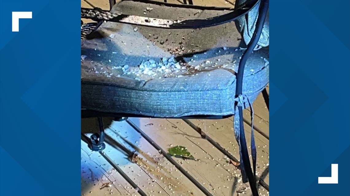
Monday's severe weather also brought hail to the northwest region of the Houston area.
Areas in Montgomery County, like The Woodlands, saw hail from Monday night's severe storms and strong winds startled residents in the Cooperfield area.


The front that sparked the showers and storms Monday night is long gone and we're in for some spectacular weather days.
HOUSTON FORECAST: Sunny & beautiful next few days
The pleasant weather will continue through Wednesday before our next cold front arrives Thursday.
This front is not expected to impact our area severely, but it could bring some clouds and a few showers.


Follow the KHOU 11 Weather Team to stay up-to-date with the latest forecast:


