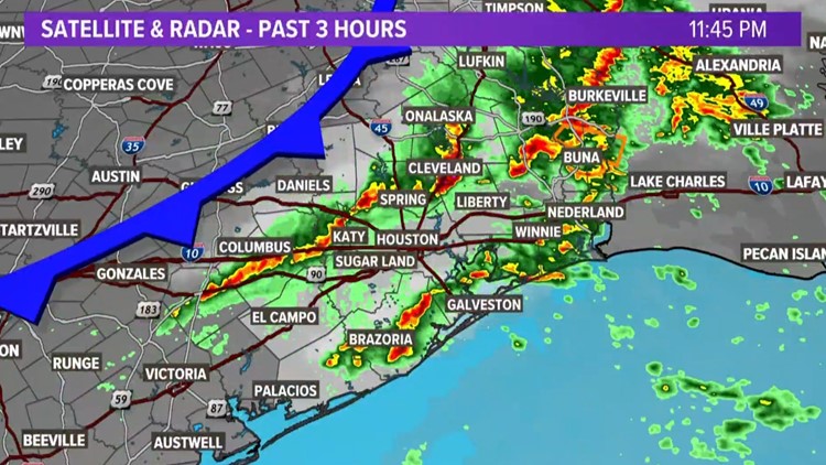
HOUSTON — A strong line of thunderstorms raced across the Houston area behind a cold front from Monday night into Tuesday morning.
This cold front, however, is a bit different from the past few we’ve experienced. How so? Well, for starters it won’t be getting all that cold, that's a positive.
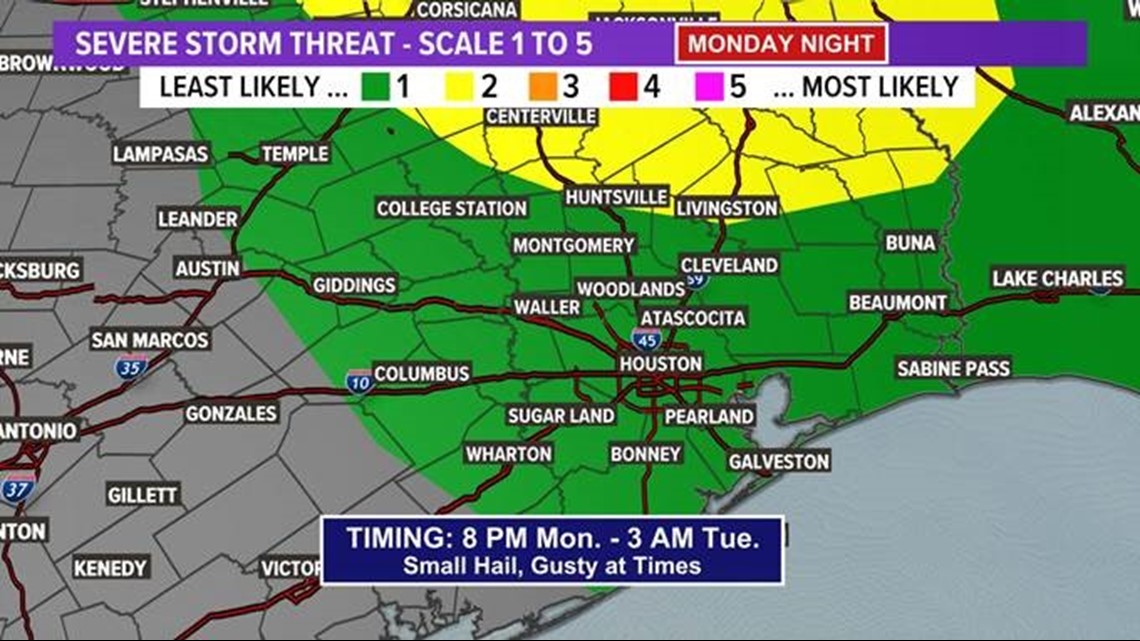
The front barreled in from the northwest and ran into a marginally unstable environment that triggered some severe thunderstorms in the area.
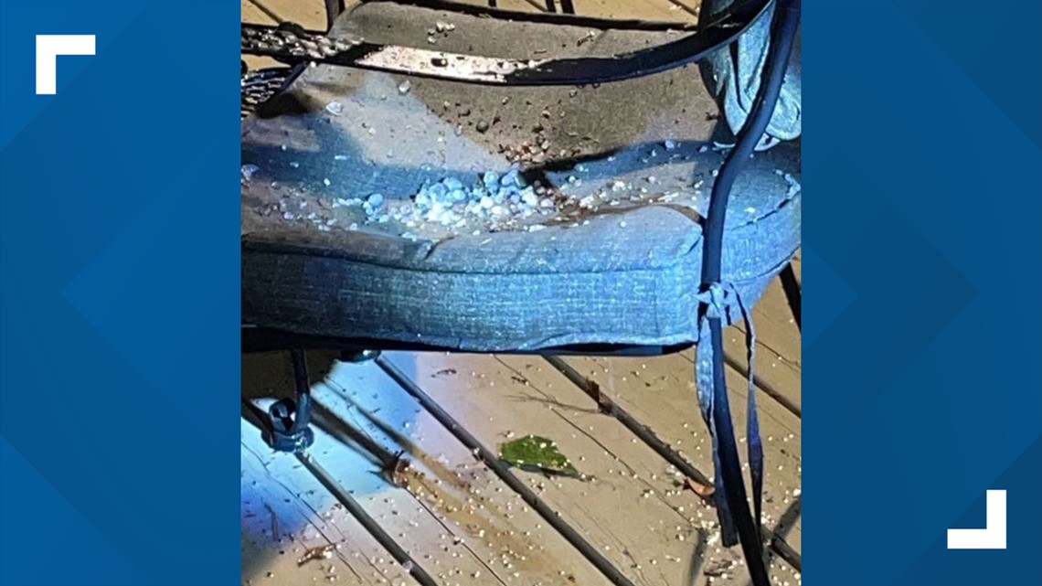
The Woodlands area saw hail while areas like Copperfield saw strong winds.
Copperfield
The Woodlands/Conroe

Watch the 1 a.m. weather update from Chief Meteorologist David Paul below:
Details
The Storm Prediction Center stayed at the Level 1 risk for most of the Greater Houston Area, including coastal communities. It was Level 2 for areas farther to the northeast, where there was the greatest likelihood for severe weather.