
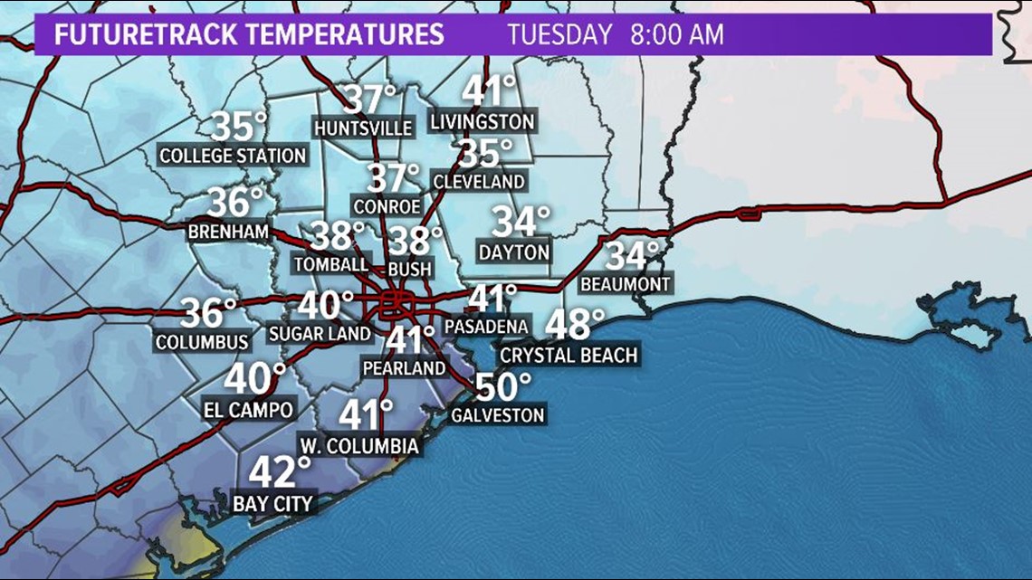
HOUSTON — Another chilly night ahead for H-Town and southeast Texas! A light freeze is possible for our extreme northern counties but most should remain above freezing to low 40s for coastal counties.

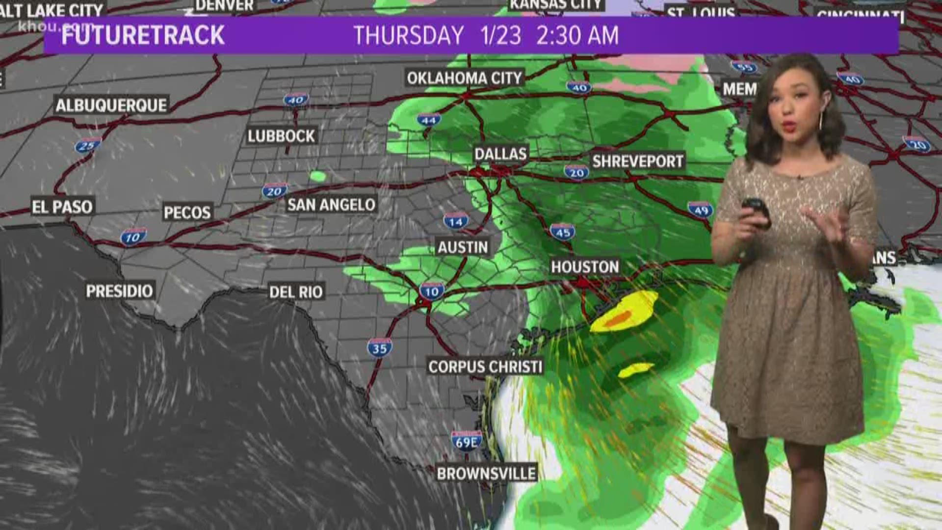
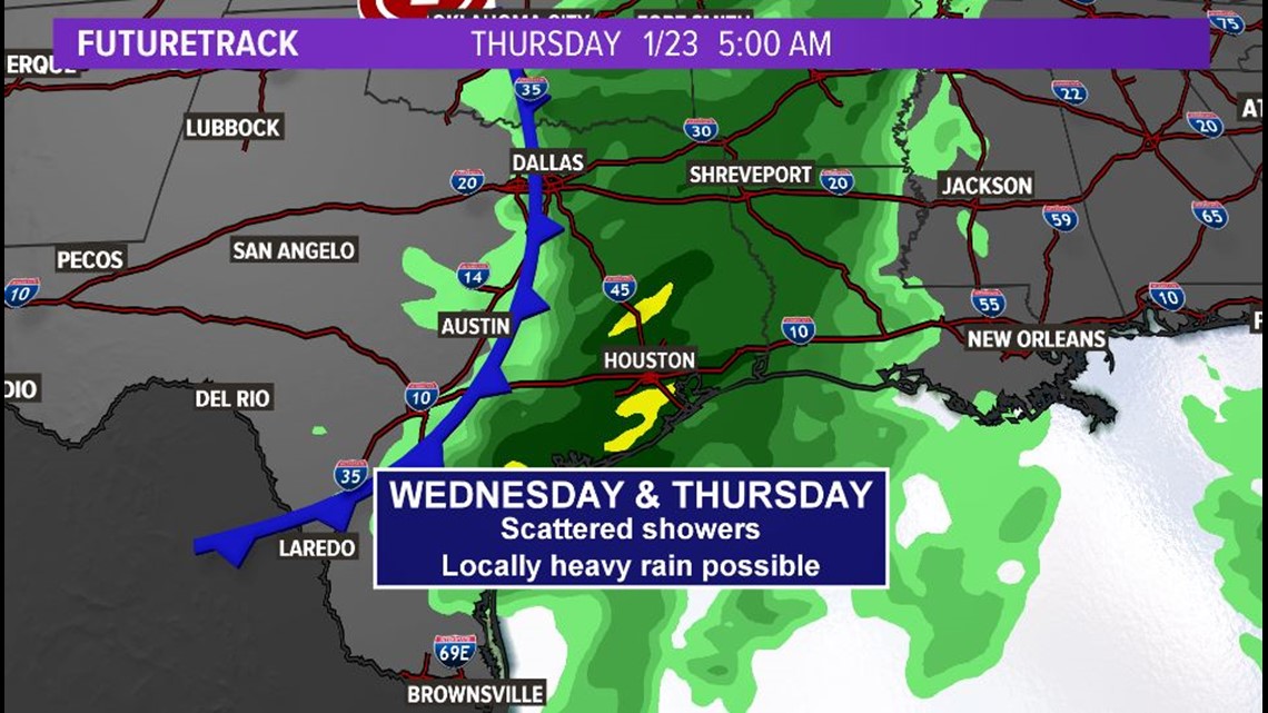
Rain chances return Wednesday and increase Wednesday night into Thursday morning with the next system moving in from the pacific. This system has the potential of bringing locally heavy downpours with 1-2" of rain widespread possible.

The timing of this system is perfect though. It moves out and high pressure build back in for a sunshine filled weekend with highs in the 60s.
7-DAY FORECAST
WEATHER ALERTS ON YOUR PHONE: Download the new KHOU 11 app
TRACK THE WEATHER: Local weather radars
Check back for more updates, and you can always follow us on Twitter and Facebook, as well as download the KHOU 11 Weather App in your app store.