HOUSTON — If you can’t find something fun to do outdoors in Texas, then you’re not trying! Texas Parks and Wildlife is making it even easier.
They’ve launched a website, showing paddling trails across the state. And there’s no shortage of them! In Texas, there are more than 3,700 named streams, 15 major rivers, and around 3,300 miles of shoreline for paddling.
On their website, they’ve broken it up by region, starting with here on the Gulf Coast.
In the Houston and all along the Gulf Coast, you can paddle your way around the following trails. If you click on each, you can see the different access spots, as well as canoe and kayak rentals, fishing and wildlife along the trails, and an interactive map.
Gulf coast trails
- Armand Bayou Paddling Trail
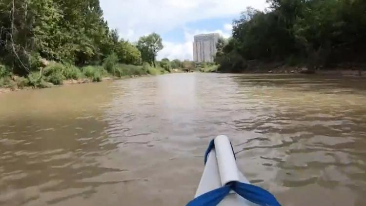
- Buffalo Bayou Paddling Trail
- Christmas Bay Paddling Trail
- Collier's Ferry to Lake Bayou Paddling Trail (Beaumont)
- Cooks Lake to Scatterman Paddling Trail (Beaumont, cross-listed under Pineywoods, too)
- Galveston Island State Park Paddling Trail
- Lighthouse Lakes Paddling Trail
- Mustang Island Paddling Trail
- Port O’Connor Paddling Trail
- Ron R. Smith Memorial Paddling Trail on Oso Bay
- Seadrift Paddling Trail
- South Bay Paddling Trail
- Victoria Paddling Trail
- Stephen F. Austin Paddling Trail (Brazoria County): Columbia Bottomland Waterway | Old Settlement Passage | Sugar Mill Stretch | Gulf Prairie Run:
You can also check out trails in the Texas Hill Country, Pinewoods, Prairies and Lakes, South Texas Plains.
Texas Parks and Wildlife also posted a map showing where all the paddling paths are.