HOUSTON — No doubt it's been a very warm fall season for the Houston area with October being the warmest on record. In fact, Houston recorded 18 days in October in which the high temperature reached 90 degrees or more. That's a record!
History shows that it's usually right around Halloween that Houston sees its first strong fall cold front. But here we are past the first week of November and that first strong cold front has yet to show up.
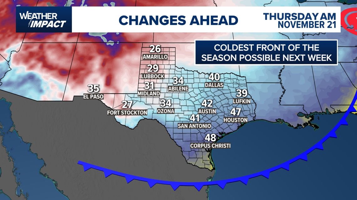
Long range models are now picking up on the idea that our first strong cold front may be arriving mid-month. Looking at North America including Canada and Alaska we can see that there is plenty of cold air in place. What we need is a mechanism to bring it south all the way down into Houston.


The upper-level wind pattern may finally provide for that around the 20th of the month. That's when a dip in the jet stream is forecast to create what is called a 'continental flow.' That would push that cold air down out of Canada, south across the great plains all the way down into Texas.


Because this is 9 days out it's difficult to tell just how cold the air will be when it makes it to Hoston, but if this upper-level jet pattern forecast verifies, we should be trading t-shirts for sweaters going into the second half of November.


