An early season Super Typhoon is forecast to make a direct hit on the U.S. Territory of Guam, which is home to more than 170,000 people and several major U.S. military installations.
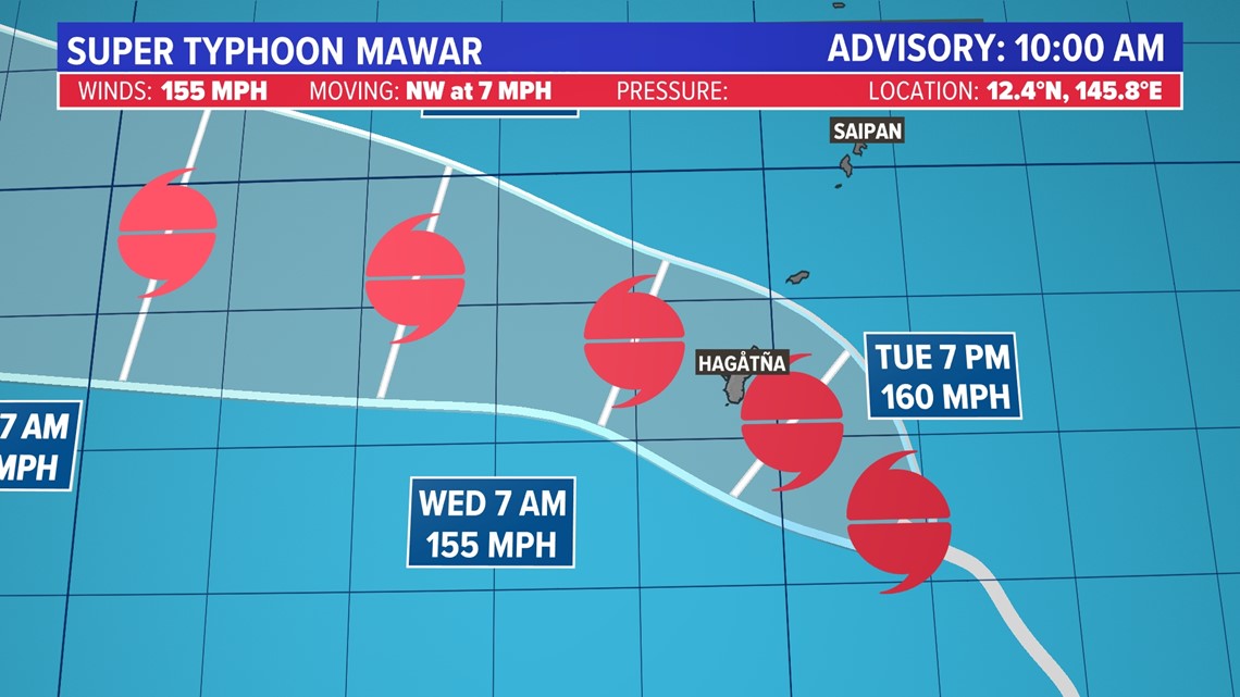
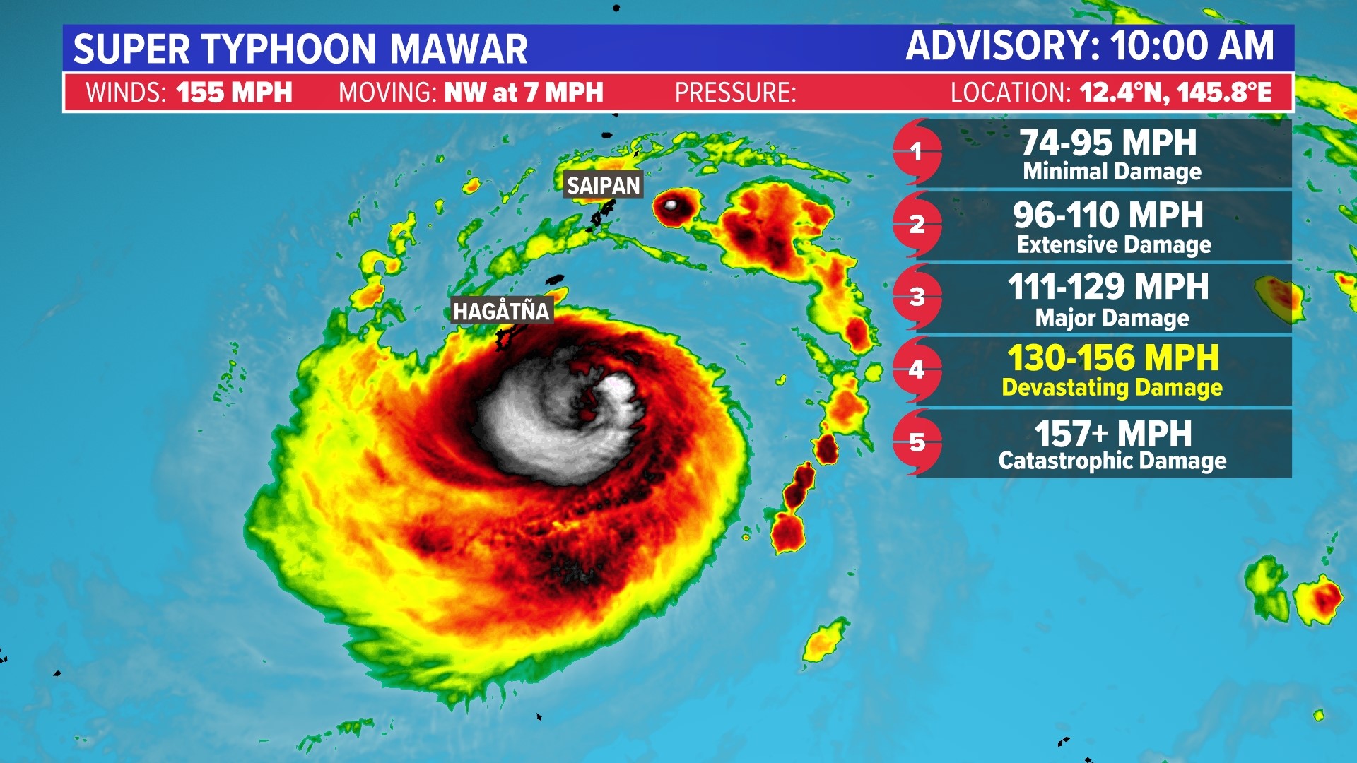
Mawar, as the storm has been named, has significantly intensified over the past few days and is now a Super Typhoon with winds of 155 mph, equivalent to a high-end Category 4 hurricane on the Saffir-Simpson Scale.
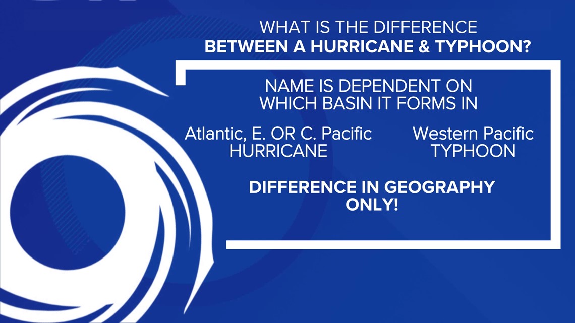
What's the difference between a hurricane and a typhoon? Nothing. It all depends on which basin the storm develops in.


Current forecasts point to a landfall occurring on the island within the next 24 hours. This could be the strongest storm to hit the island in decades.


The last time a Super Typhoon made landfall on Guam was Pongsona in December of 2002. That storm packed winds of over 170 mph and was the second costliest U.S. disaster that year.
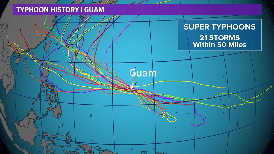
Landfalls are rare but close calls are not. Since records began there's been 21 storms that have come within 50 miles of the territory.


Conditions will worsen in the coming hours and Guam will experience significant impacts from the storm.

