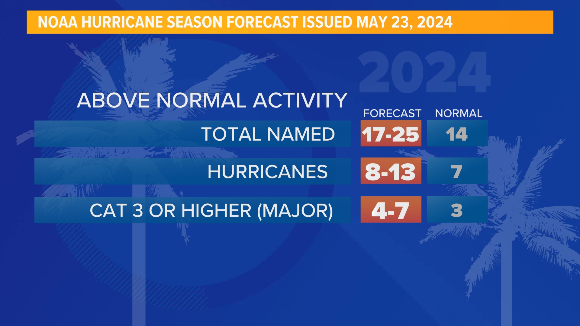
HOUSTON — Meteorological summer is right around the corner. The impacts of a strong El Niño pattern continue to be felt in Houston with our Spring rainfall running well above normal. However, climate scientists and NOAA are predicting the switch from our current El Niño back to La Niña for the late summer months. So what will this mean for Houston and Southeast Texas as we transition into summer?
What is La Niña?
When we look at ENSO, there are three different phases: El Niño, Neutral and La Niña.
The La Niña phase is characterized by cooler-than-normal sea surface temperatures in the eastern equatorial Pacific. This happens when stronger than normal easterly trade winds push the warm surface water to the west, causing cold water to "upwell" from the deeper ocean off the coast of South America.

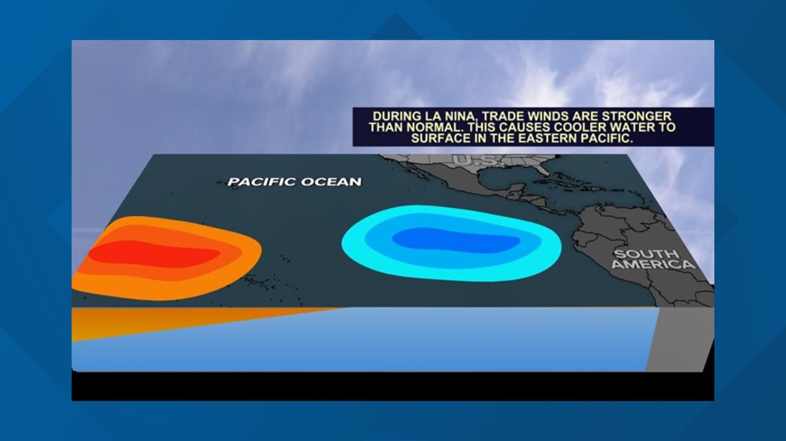
This shift in sea surface temperatures affects weather patterns in the U.S. and the globe. However, impacts during the summer months in the U.S. and Texas are little to none. La Niña does not give Texas and Houston a "hotter" summer but it can lead to more activity during the Atlantic summer hurricane season. And that can have major impacts on us if a storm heads our way.

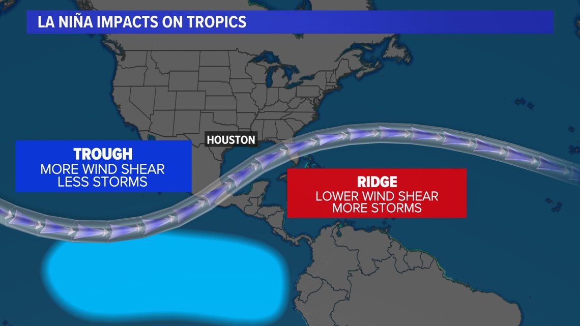
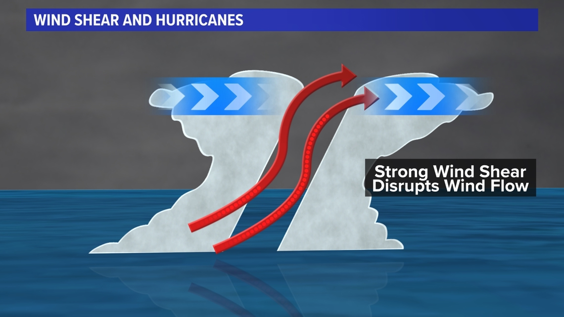
Why does lower wind shear matter? Tropical systems need to be "vertically stacked" to grow and strengthen. When there is lower wind shear, as in a La Niña summer, this factor can lead to a higher storm count for the season.

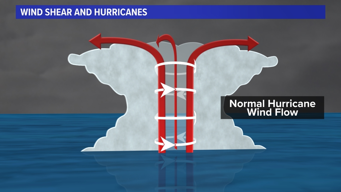
However, when wind shear is present, budding storms and even established hurricanes can be weakened and torn apart. This can reduce the overall storm count in the Atlantic.

Combine the La Niña factor of lower wind shear with the well above normal sea surface temperatures currently in the Atlantic and you have the ingredients that could lead to a very active Hurricane season.

