HOUSTON — La Niña may be staying with us for longer than anticipated — likely through the rest of summer, fall and potentially into early winter.
So what does that mean for us as we head into the peak of hurricane season, which is Sept. 10?
For starters, it means the favorable conditions for storm strengthening will stick around. The favorable factors are warm sea surface temperatures and low wind shear.
How do we get both of these factors and why are they important?
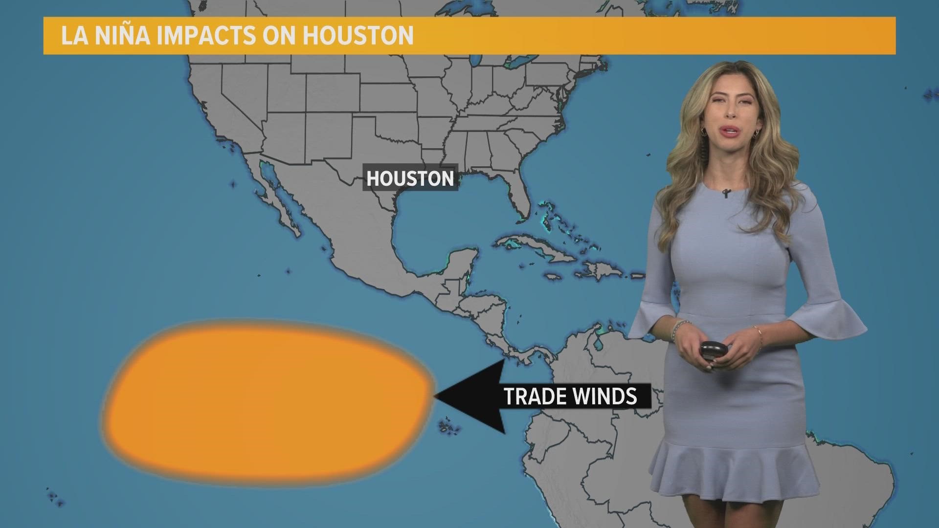
In a La Niña year, we get warm ocean waters in the Atlantic Basin because there are cooler waters in the Eastern Pacific. This happens because the Trade Winds strengthen.
Winds that blow in the equatorial region from east to west force the warm water off the coast of South America towards Asia. That causes the upwelling of cold ocean water in the Pacific.
What happens at the surface in our oceans also impacts what happens aloft in our upper air pattern. The cool water in the Pacific creates an upper-level trough. Within this trough, we see high wind shear, changing wind speed and direction with height. This is what storms do not like.
RELATED: Hurricane kit for your pet: Here's a list of what you'll need when a storm is heading toward Houston
Downstream, in the Caribbean and the Atlantic, the opposite happens. We see a ridge form.
This upper-level ridge creates calm conditions with little wind shear. This is what storms like because it doesn't impede their development.
The calm wind allows the storm to be uninterrupted and the warm sea surface temperatures provide all the fuel the storm needs if a wave does form.
With all these ingredients at play as we head into peak hurricane season, we’ll need to watch the tropics closely. Historically speaking, La Niña years tend to see more than double the activity El Niño years see.

