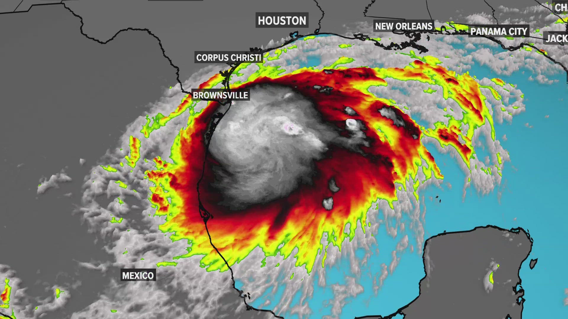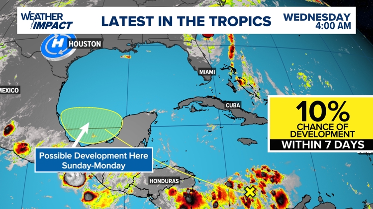
HOUSTON — Hurricane Debby just made landfall in Florida Monday morning, and we're already tracking another potential tropical threat. It's a wave near the Lesser Antilles (the yellow 'X' in the image below) that has our attention. As of today, it shows no signs of development and is expected to quietly drift west for the next few days.
However, as it reaches the western half of the Caribbean sea and eventually the southern Gulf of Mexico, the National Hurricane Center believes it has a 10% chance to develop into our next tropical system. If it does develop into a named storm, the next one on the list is Ernesto.


We have plenty of time to watch this one. If it's going to reach the southern Gulf of Mexico, it won't be until early next week. It's nothing for us to be overly concerned about right now. But it absolutely IS a reason to watch the weathercast at least once a day this week. Hopefully we'll be tracking a system that never develops, but if it does, I don't want you and your family to get caught off guard as we move into the 'busy' time for tropical development.
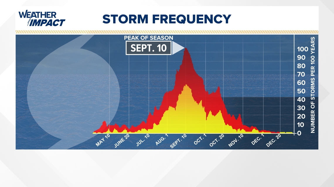
Peak of hurricane season approaching
We’re entering the part of the Atlantic Hurricane Season that tropical activity picks up. While the statistical peak of the season is Sept. 10, activity typically increases mid-August as it approaches the peak.