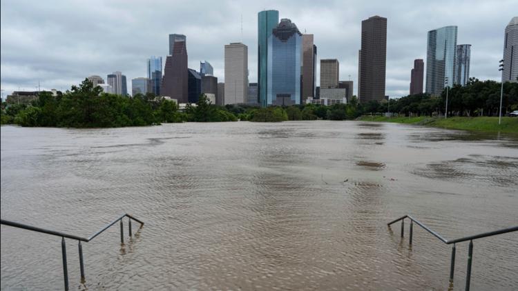
HOUSTON — About 12 hours after Tropical Storm Beryl made landfall in Houston as a Category 1 hurricane, flooding across the area kept people indoors and off the streets.
Beryl brought wind gusts measured at over 90 mph, rainfall of over 12 inches and flooding to some parts of the Houston metro area.
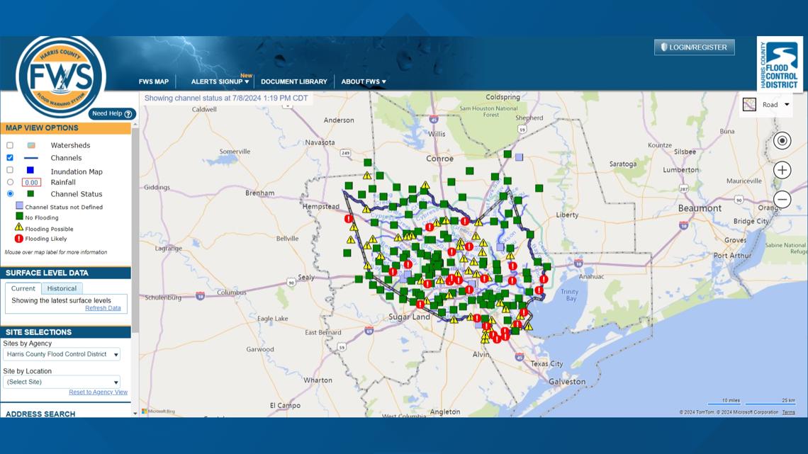
The Harris County Flood Warning System (FWS) tracks flooding as well as channel and bayou levels, and since 3 a.m. Monday morning, water levels steadily increased.
Several channels and bayous around the city were listed as "Flooding Likely" as the water levels surged past their banks. Even more of the channels and bayous were listed as "Flooding Possible" but many showed water levels trending downwards after a sharp surge beginning when Beryl made landfall.
The FWS showed about two dozen sites where flooding was likely occurring and about another three dozen where flooding was possible. View the live map here.

Houston Mayor John Whitmire alongside several first responder department heads told residents to stay at home while the flooding was occurring during a press conference Monday. They warned that going out on the road is dangerous due to the flooding and that being out can lead to dangerous situations for you and any first responders who may have to rescue you.
The Houston Office of Emergency Management said that six inches of fast-moving flood water can knock over an adult, 12 inches can carry away a car and two feet of rushing water can move a truck or SUV.
None of the flooding in the area so far has reached historical levels of a 50, 100 or 500-year flood, according to data from the FWS.