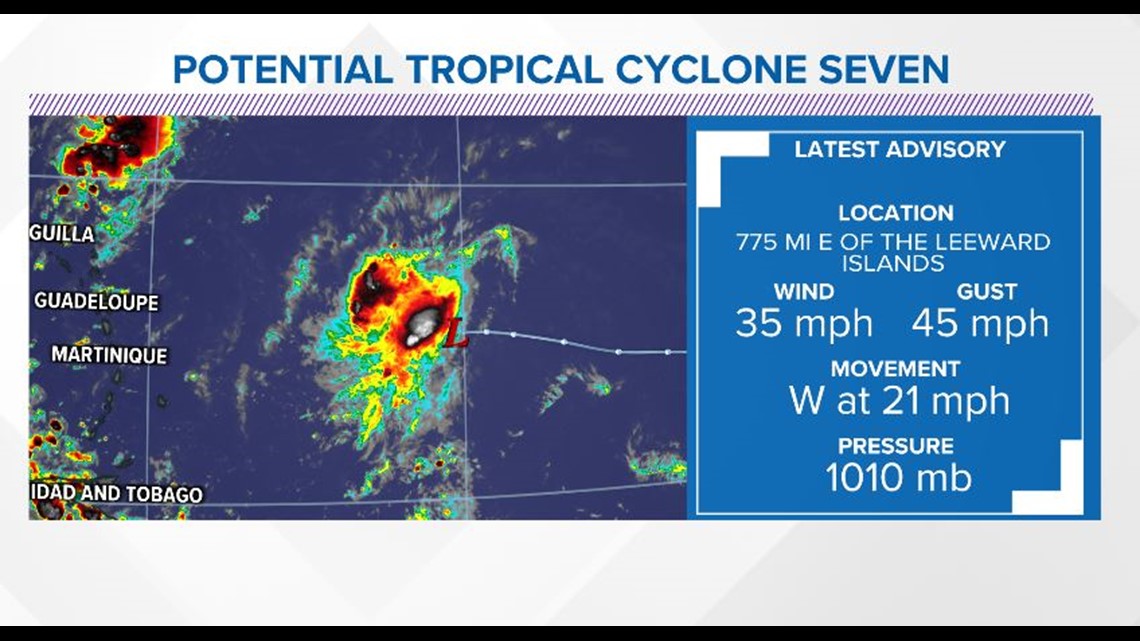
HOUSTON — A tropical wave came off the coast of Africa over the course of the weekend, and as we have been tracking it’s progression across the open Atlantic Ocean, conditions slowly became more favorable for it to strengthen and develop.
Eventually the wave became organized enough, and had a closed circulation, to merit the National Hurricane Center to declare it was on it’s way to becoming a tropical depression soon and said we have a new potential tropical cyclone.


What is a potential tropical cyclone?
A Potential Tropical Cyclone designation means a system is not quite a depression or storm, but it still poses a threat to land within the next 48 hours. So this allows watches to be put in place so the public can be alerted of the potential danger and can prepare.


Where is PTC 7 going?
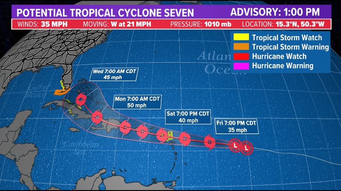
The official forecast cone from the National Hurricane Center has PTC 7 becoming a tropical storm this weekend, in which case it would be called “Grace.”
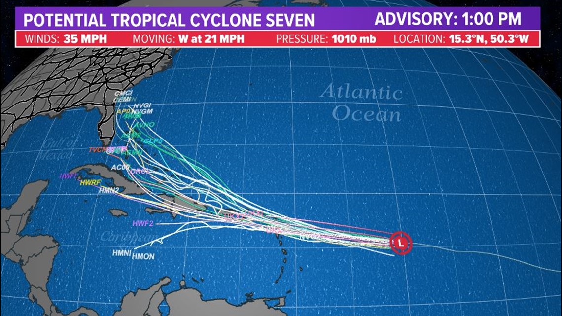
The system would then threaten the larger Caribbean Islands, the Bahamas and then potentially Florida. The tropical alerts you see in Florida now are for Tropical Depression (soon to be back to a tropical storm over the weekend) Fred.


If PTC 7 survives the journey through the Northern Caribbean Sea, and the southwest Atlantic Ocean, it could pose a threat as a strong tropical system off the East Coast of Florida.
While this system doesn’t pose a threat to the Gulf of Mexico, especially here in Houston, we will be tracking it.


