HOUSTON —
UPDATE: The system has become Tropical Depression 18. We're keeping updates here now.
______________
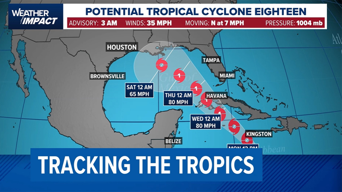
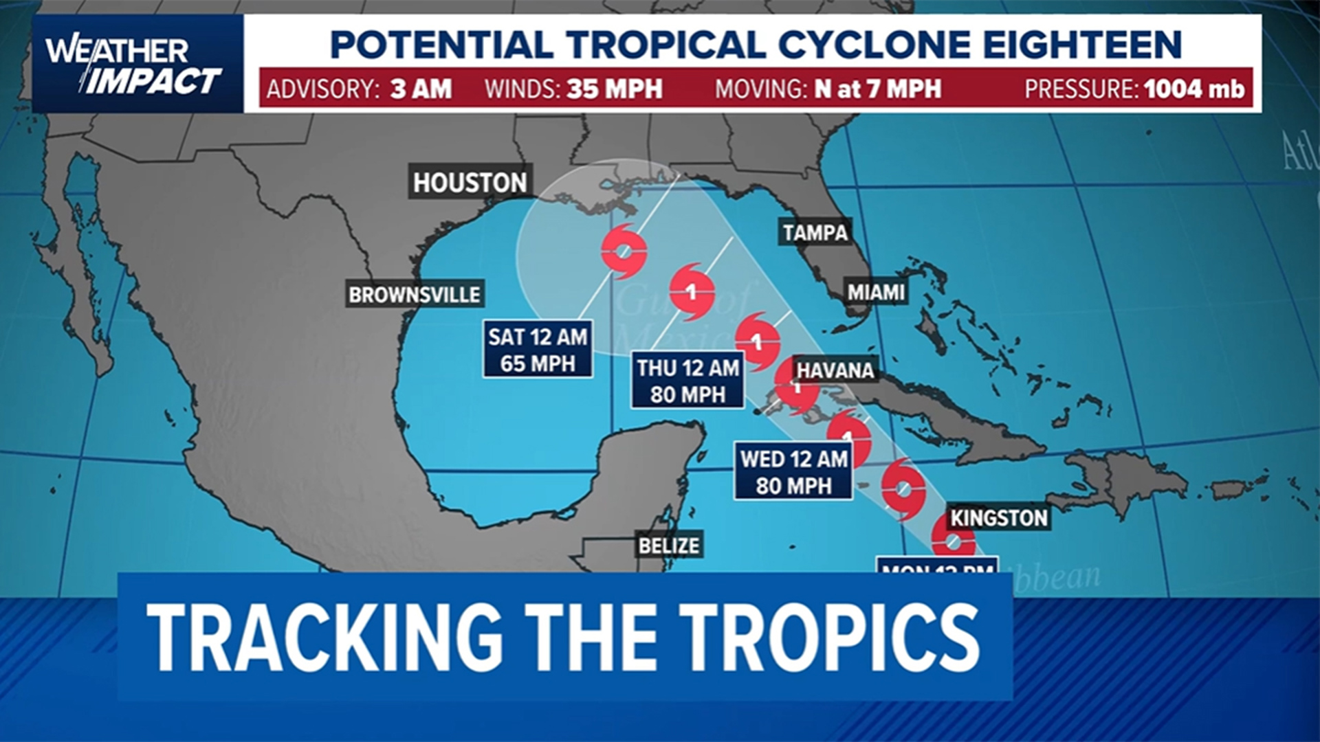
It may be November, but we’re still in hurricane season and here’s your reminder. A spot we’ve been watching in the south-central Caribbean has now been designated as Potential Tropical Cyclone 18.
The storm is expected to move into the Gulf of Mexico as a hurricane by the middle of the week. Exactly where it goes from there is still unknown. This time of year, cold fronts are more common across the Gulf states which have a major impact on how tropical systems evolve and the direction that they move.


Fortunately, the current forecast from the National Hurricane Center shows the storm weakening as it moves into the Northern Gulf of Mexico. The reason for this is cooler waters, since it is November, and high wind shear - a result of the jet stream being farther south
Still this may be an impactful storm for a portion of the Gulf Coast and will need to be monitored over the coming week. The next name of the list of names is Rafael.
Potential Tropical Cyclone Meaning
So what is a ‘Potential Tropical Cyclone?’ It’s a designation given to a system that hasn’t yet developed into a tropical storm or depression, but does threaten to bring tropical storm or hurricane conditions to land within 48 hours. The National Hurricane Center releases forecast cones for the storm so that people in communities in the system’s path can prepare.
While November is well past the peak of hurricane season, it’s not too rare to have a tropical storm or hurricane. According to data from the National Hurricane Center, there have been 125 tropical storms or hurricanes active in the Atlantic basin since 1861,


KHOU 11 will track PTC 18 and will post any updates as the system develops.

