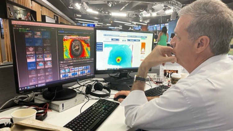
HOUSTON — As I write this update at 3 p.m. Houston time Monday, the Lesser Antilles islands are just beginning to recover from taking a hard hit from Hurricane Beryl.
Our heart goes out them knowing that the storm was a Cat 4 with winds of 150 mph and it looks well on the way to becoming the earliest Cat. 5 hurricane on record in the Atlantic basin. Our stomachs tighten just a little bit, seeing that the National Hurricane Center forecast takes the storm all the way across the Caribbean and eventually into the Gulf of Mexico as a tropical storm.
Editor's note: This was written Monday afternoon, July 1. We're keeping the very latest track for Beryl at this link
Several things come to mind as I look at this forecast track. First, IF this track ends up verifying, it's a great outcome for the Houston-Galveston area. We would see increased surf and seas, beach erosion and some coastal flooding at high tide, and that's about it. Wonderful, compared to the alternative of a direct hit from a strong hurricane.
It's still a long way out and forecasts can change. I know that there is also the possibility that Beryl rides along the northern edge of the forecast cone and shoots the gap known as the Yucatan Channel into the Gulf as a much stronger system. It's not the most likely outcome, but within the realm of possibility. My stomach tightens again.
Like you, my kids live here, my extended family lives here, and I worry about them when a storm threatens. It's stressful. I've learned that the best way to relieve the stress is to stay informed and prepared. So, what am I telling them to do right now? Stick to the basics.
These actions put us all in the best position possible. Ready for the worst while hoping for the best. And when Beryl 'hopefully' misses us, you'll be ready with supplies and an actionable plan to carry with you for the rest of what appears to be only the beginning of a VERY busy hurricane season.


