HOUSTON — Another tropical system will try to form in the Gulf of Mexico this weekend, just a few days after Tropical Storm Alberto made landfall in Central Mexico.
This one is expected to be weaker than Alberto, which brought heavy rain up to the Texas Gulf Coast. If it does become strong enough to be named, it would be called Beryl.
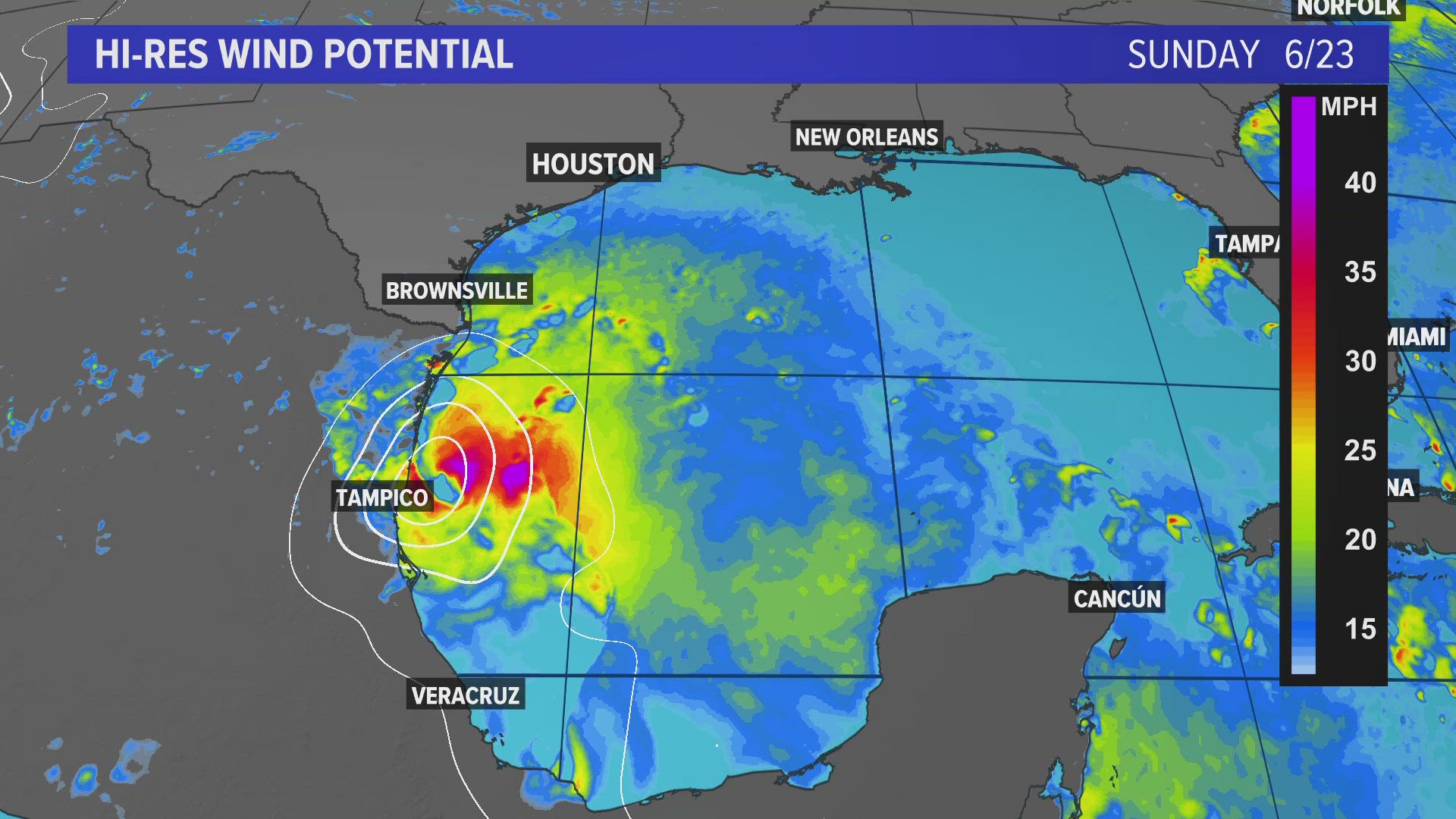
The new system is expected to track toward the Mexican coast near Tampico (the same place hit hard by Alberto) on Sunday. At least four people were killed when Alberto made landfall early Thursday morning.
Impacts to the Galveston and upper-Texas Gulf Coast from the new storm are forecast to be mild to moderate with an east wind at 15 to 25 mph while bringing a surf of 3 feet to 5 feet.
It will also bring an enhanced threat for rip currents over the weekend.
Chances for tropical development in the southern Gulf of Mexico continue to rise as we head into the weekend. This is the second time in just a week that a tropical system will attempt to form over nearly the exact same area, but is this unusual?


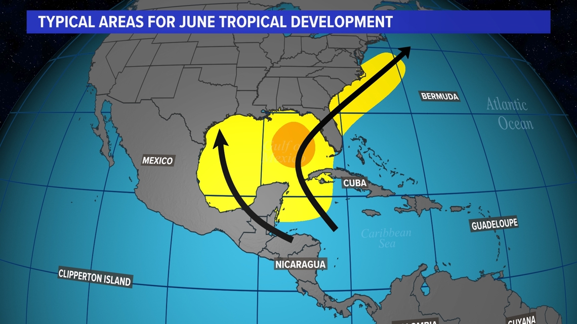
Looking at climatology, If we are going to see tropical development in June, it usually happens right here in the Gulf of Mexico. Waters here are warm early in the season, and tropical waves can move off the Yucatan peninsula into the southern gulf, encouraging development in that region.
The system will help bring minor coastal flooding to the Texas coast at times of high tide over the weekend. A Coastal Flood Advisory is in effect at least through Saturday.
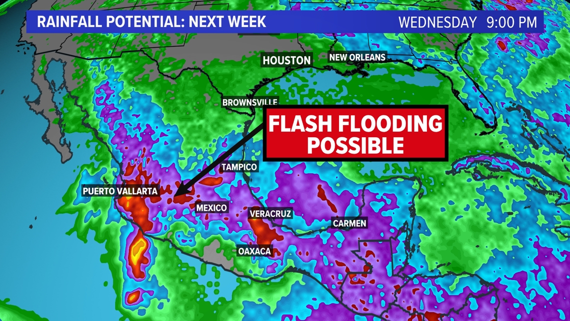
Unfortunately, the moisture from this new system will move over Mexico early next week. This will bring a high risk of more flash flooding and mudslides.


