HOUSTON — Houston is enjoying lower humidity and slightly cooler temps out the door early Tuesday morning, in the 50s and 60s across Southeast Texas.
That is thanks to a front that pushed through late yesterday, but an even stronger cold front is on the way that will make for a picture perfect weekend, says KHOU 11 Meteorologist Chita Craft.
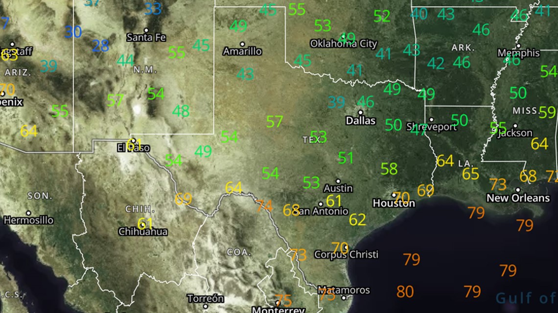
Check out the 7 a.m. temperatures across Texas this morning:


This first front brought a nice relief from the temps in the 90s as well as a nice drop in the humidity, but no, it's not "cold" outside. In fact we will still get into the 80s later today.
Later this week we are getting a stronger cold front. Check out the weather timeline below:
Houston cold front timeline
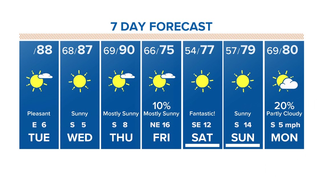
TUESDAY AM - the first front, a weak one, will have arrived. early morning temps in the 60s but with winds out of the northeast (lower humidity)
TUESDAY PM - temps still warm in the afternoon, near 90
WEDNESDAY & THURSDAY - pleasant and sunny, but winds will shift back out of the south, increasing humidity again. overnight temps near 70, daytime temps near 90
FRIDAY AM - the second, stronger cold front arrives in the morning, bringing a 10% rain chance .. temps in the 60s in the morning
FRIDAY PM - sunny with winds out of the northeast, temps in the mid-70s. lower humidity.
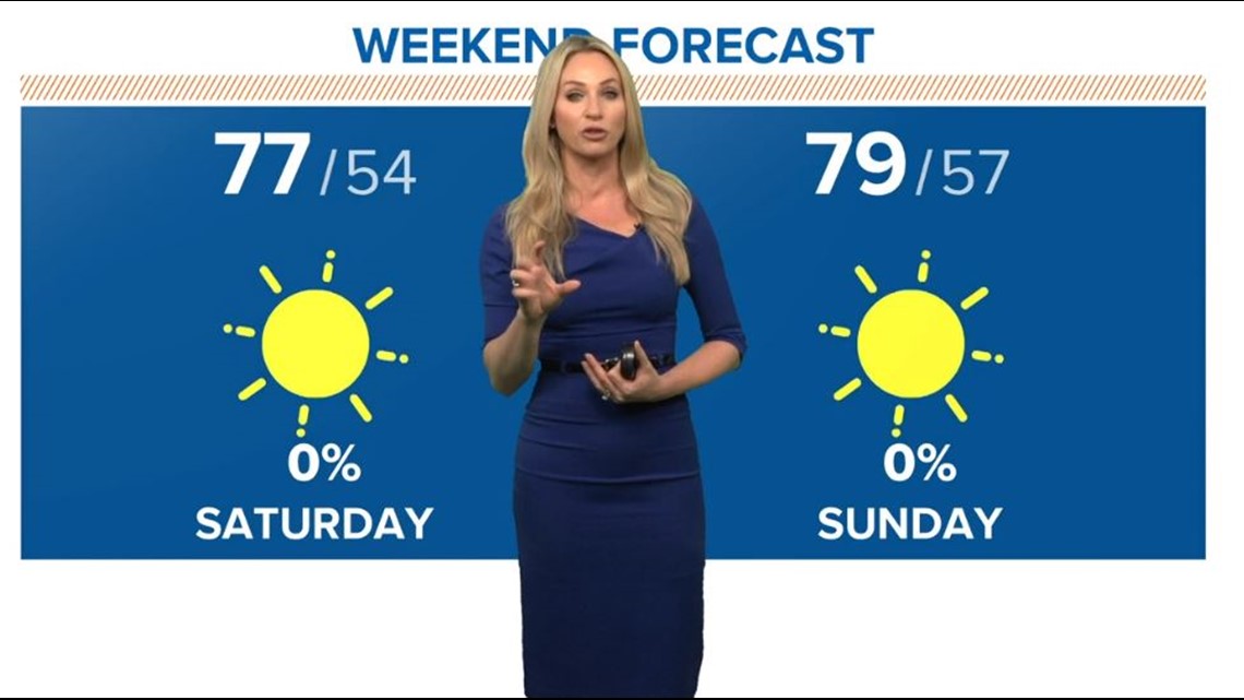
SATURDAY AND SUNDAY: Sunny and cool in the morning, in the 50s. Topping out only in the upper-70s in the afternoon. Wonderful!


Houston 7-day forecast


