HOUSTON — The warm and muggy weather has taken over Houston, but don't fret, these conditions aren't here to stay.
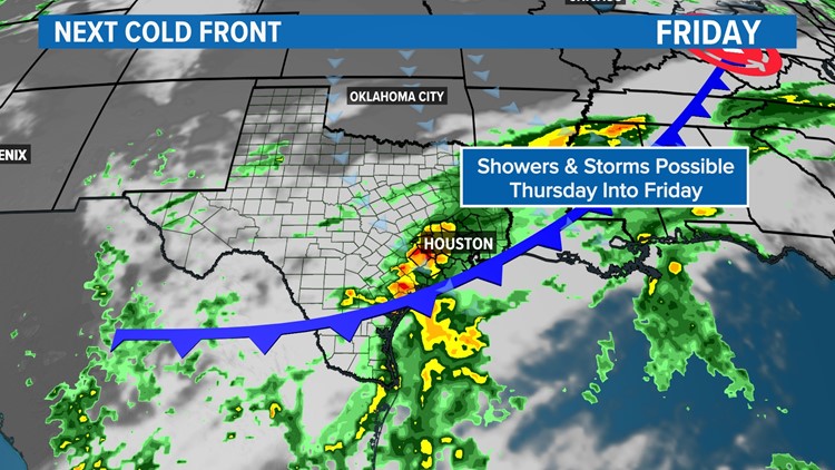
In fact, our next cold front is around the corner. This cold front will not bring a sharp drop in temperatures like we experienced during our last one, however, you may need a jacket if you're headed out and about, especially if you're outside during the early morning hours.
Timeline of cold front
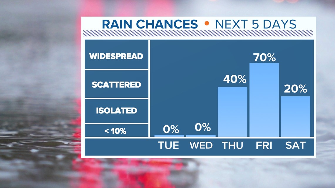
Monday through Wednesday -- Expect warming temperatures and humid conditions with partly cloudy skies. Highs will top out in the upper 80s with overnight lows in the 60s.
Thursday -- Thursday morning will start off similar to the previous days, but by the evening we will start to showers and storms as the cold front makes its way to the Houston area.
Friday -- Front is expected to pass early Friday morning. Showers to stay in play for much of the day. Temperatures will drop throughout the day.
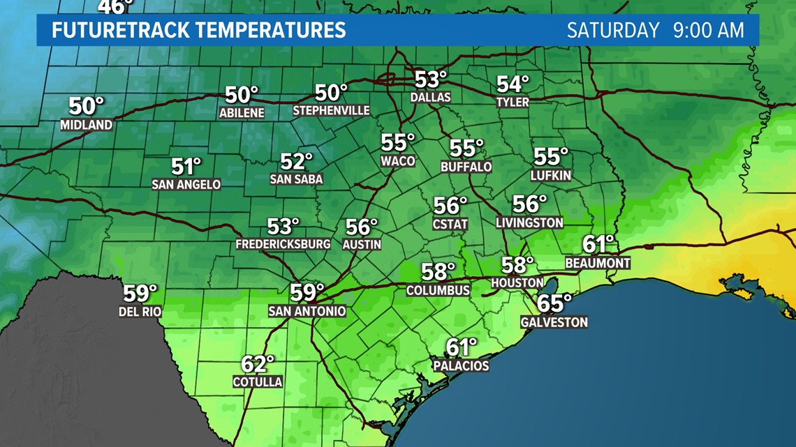
Saturday -- Cold front stalls offshore over the Gulf. Morning temperatures will be in the 50s. Scattered showers along the coast are expected but mostly cloudy skies inland. Highs will be in the upper 60s.
Sunday -- Low forms just off the coast of south Texas, increasing rain chances for inland areas. Scattered showers are likely with mostly cloudy skies. Highs will be in the 60s.


The latest forecast rainfall accumulations for southeast Texas could range between 1 to 2 inches. We could see heavier rainfall accumulations along the coast, but nothing to worry about because much of our area is experiencing moderate to severe drought conditions.


It's a great idea to keep your eyes on the forecast this week. Follow our KHOU 11 Weather Team to stay up-to-date with the latest forecast.


