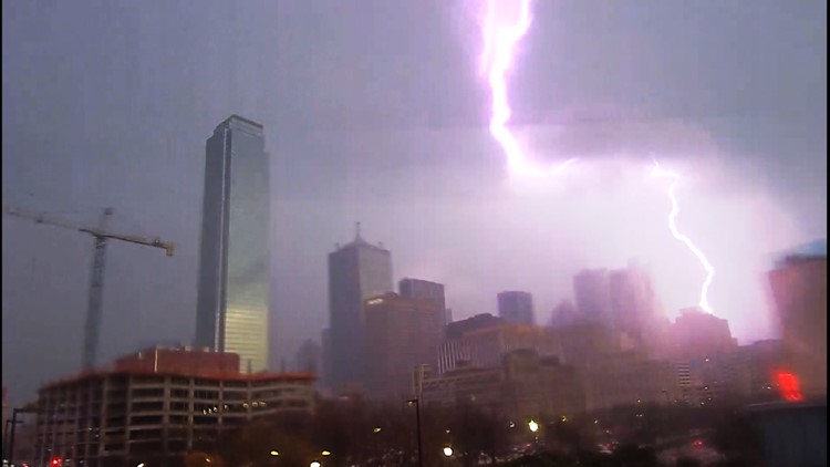
DALLAS — Severe weather was expected in North Texas on Wednesday afternoon and into the evening, and showers and storms were already developing in the morning.
As a result - and every time we have severe storms in North Texas - flight delays and cancellations are a possibility as the weather moves through the area, both at Dallas-Fort Worth International Airport and Dallas Love Field.
We'll also likely see event and school activity cancellations, as storms are expected to hit in the afternoon hours.
Event and school activities
Cedar Hill ISD:
Cedar Hill ISD officials said after school activities were canceled.
Dallas ISD:
The Dallas Independent School District canceled all after-school activities and events Wednesday.
Classes will be held as normal on Thursday.
Fort Worth ISD:
Fort Worth ISD officials said the district plans to follow regular dismissal procedures. However, due to inclement weather conditions, bus routes may be delayed. FWISD also said all District baseball games planned for Wednesday, April 26, are canceled. The North Side vs. South Hills flag football game is also canceled and will be rescheduled.
Keller ISD:
Keller ISD officials said out of an abundance of caution, all after-school activities and events scheduled for today will be concluded by 5:30 p.m. This includes all athletics, fine arts, and CTE practices, rehearsals, or competitions. Additionally, the Clayton after-school program will be communicating with their families and encouraging parents or guardians to pick students up by 5:30 p.m., if possible; however, they will stay open their normal hours until all students have been picked up.
Richardson ISD:
Richardson ISD officials said after school activities were canceled, and buses will begin routes on a normal schedule, but weather conditions may cause delays.
Flight updates
Check your flight status in the links below, including the latest cancellation and delay totals across the country:
North Texas Power Outages
If there are power outages in North Texas, they'll show up on the Oncor power outage map. You can also report your local outages through the map.
Latest forecast
A round or two of t-storms is possible through the afternoon into evening. D-FW timing for storms looks to be from mid-afternoon into evening.
Main threats with any severe storms will be large hail and damaging winds. The tornado threat is lower than the wind/hail threat, but not zero. Initial supercell storms could pose a tornado threat, and once the storms form into a line spin-ups within the line are possible. Locally heavy rain can also lead to areas of flooding.
It's not impossible to have a few lingering showers first thing Thursday morning, but the rest of the day will be dry, breezy, and cooler.
Friday will start off dry, but some late-day showers or storms are possible as another front arrives. Rain chances look highest Friday night with some lingering rain Saturday morning before that rain quickly moves off to the east.
Live radar and weather coverage
WFAA will have weather coverage throughout the day Wednesday. Be sure to download the WFAA app for the latest forecast updates and alerts and to watch WFAA's coverage when the storms begin.


