
DICKINSON, Texas — While the National Hurricane Center is closely watching Potential Tropical Cyclone One over the southern Gulf of Mexico, plenty of rain is falling in the Houston area.
A potential tropical cyclone is a low-pressure system over tropical waters with organized storms that have a high chance of forming into a tropical depression or tropical storm. If it becomes a named storm, it'll be Alberto
Right now, rain is moving along the Texas coast from Houston-Galveston to South Texas, with the heaviest the further south you go along the Texas coast.
In Greater Houston, floodwaters don't only come from the skies but from the rivers, creeks and bayous. The National Weather Service tracks these water levels multiple times a day and makes the information available online.
In Harris County, you can check on levels on the Harris County Flood Control website. There, you can check the status of bayous and creeks across the county by turning on different layers of the map.
The state also monitors water levels, which is updated multiple times a day. You can monitor that here on the state's site.
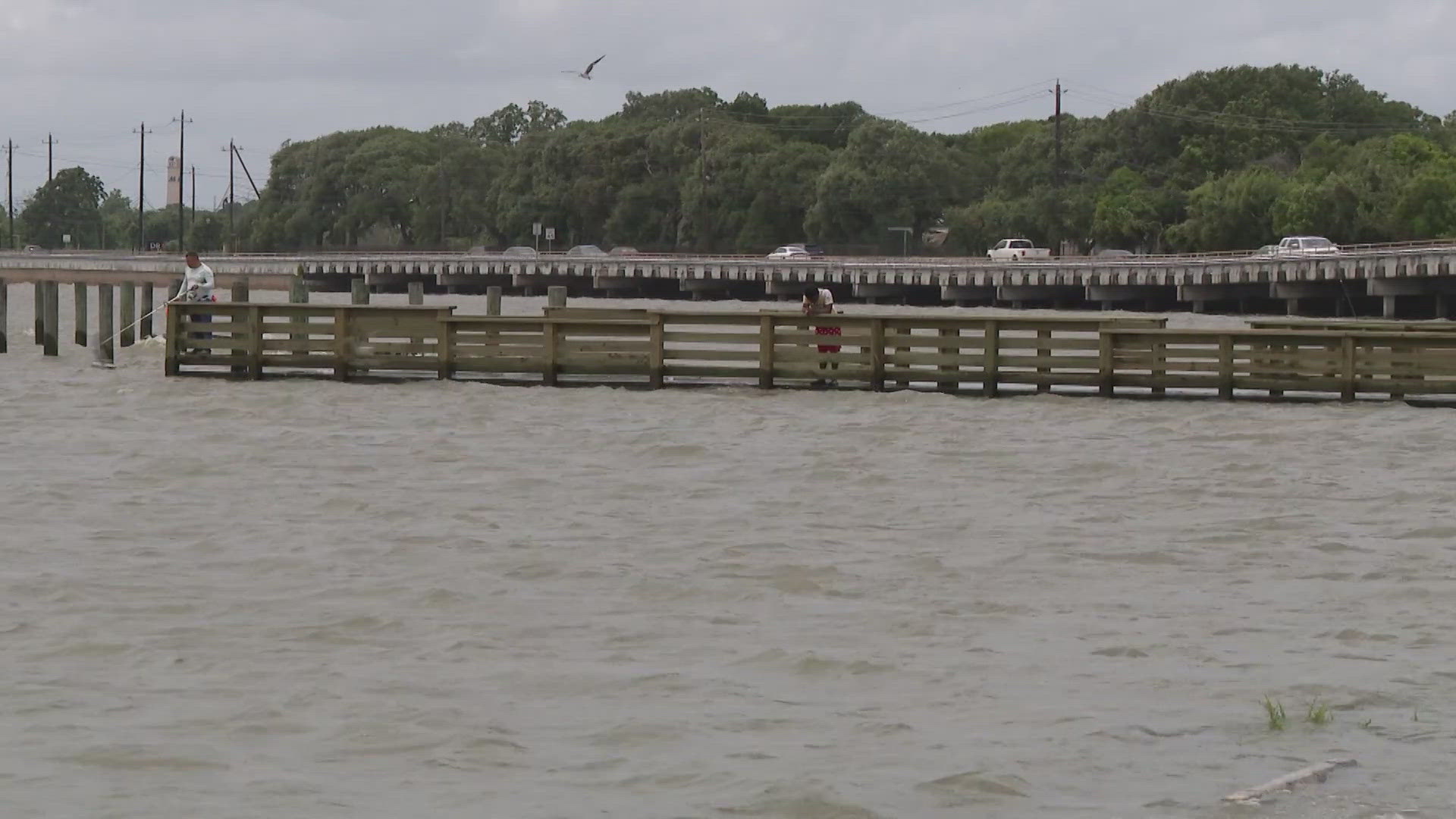
As of Wednesday morning, the water level of Dickinson Bayou at Highway 3 was at 5 feet before the tide rolled in, according to the Office of Emergency Management.