This is the time of year when tropical systems can sprout up with very little warning. We saw it yesterday with Tropical Storm Julia, which developed right over Florida after tracking as a tropical wave for over 2,000 miles, "silently". It wasn't expected to form and then, "boom!", the 10th named system of the season appears.
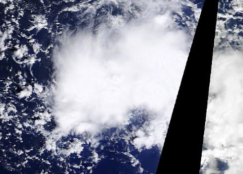
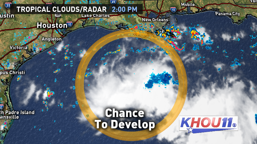
A similar system in the central Gulf right now called, "Invest 92L" is a tropical wave which has been relatively silent for the last week and a half after traveling all the way here from Africa. It had been limited in its development due to heavy wind sheer and even some Saharan dust to slow its roll. That has changed. Now, it has found an area in the atmosphere about 300 miles southeast of Galveston which is considerably more favorable for future strengthening.

Currently, air pressures in the Gulf are steady, with no rapid falls recorded. That indicates that the system is not about to rapidly increase in organization. There is, however, evidence on satellite of a more conducive upper pattern setting up, as cirrus cloud tops fan out to the west, north and east. This shows us that there is good upper-level evacuation of air which means updrafts (thunderstorms) are increasing in power.
Whatever does become of this system, Houston will see an increase in rain chances through the end of the workweek with waves of possible heavy, tropical downpours by Friday. The center of circulation is most likely to miss us by a few hundred miles, passing to our south near South Padre Island. That can change, so we're tracking it carefully and will let you know of the latest on KHOU 11 News.
-Brooks


