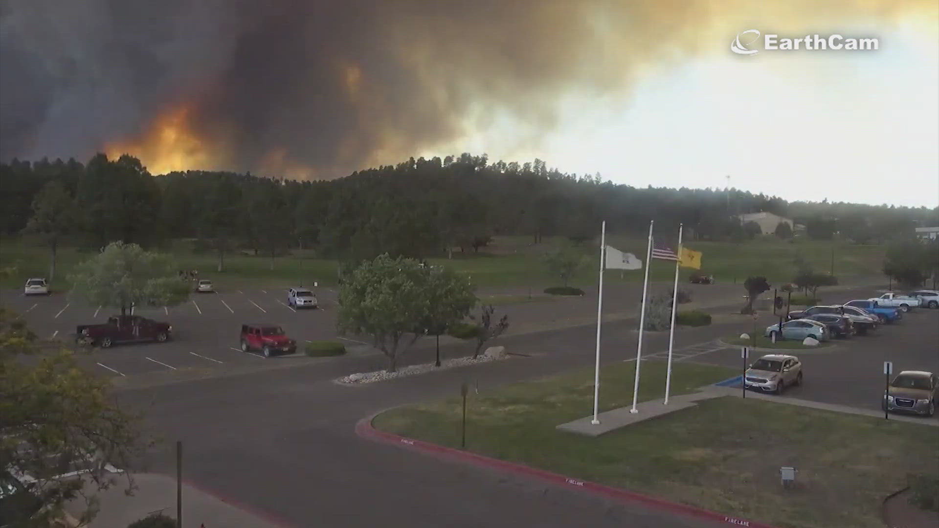
RUIDOSO, N.M. — Here's a map of the wildfires in Ruidoso, New Mexico in real time:
Incident Map URL: https://www.arcgis.com/apps/mapviewer/index.html?webmap=e2c6d99f914c44cbb18b75e73beef035
"An emergency mandatory GO evacuation has been issued for the entire Village of Ruidoso because of the South Fork Fire from Sudderth/Mechem to Freedom Bloom at Big O Tire. Please do not try to gather belongings or protect your home - GO NOW.
Both Highway 48 and Highway 70 at Apache Summit are closed so the only route for evacuation is on Sudderth to Highway 70 and out to Roswell.
We will keep you updated here. Please be safe and courteous as we do this."
-Village of Ruidoso Facebook
For information or assistance regarding the fire, call 575-258-6900.
Incident Map URL: https://www.arcgis.com/apps/mapviewer/index.html?webmap=e2c6d99f914c44cbb18b75e73beef035
Ruidoso Webcam: https://www.discoverruidoso.com/ruidoso-webcam
NewsWest 9 will continue to update this as we learn more.

