HOUSTON — Memorial Day is the unofficial start of Summer. If your plans take you to Florida, the tropics may once again spoil your fun in the sun.
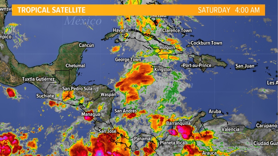
While the system in the Gulf last week was never really expected to develop, the one in the Caribbean looks more promising as we head into next week.
It's too early for specifics but there appears to be ample model support for some sort of tropical system spinning up and heading north towards the Gulf of Mexico.
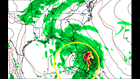
The GFS (white and green) model has been persistent and unyielding on this idea of a tropical storm, and sometimes a hurricane, developing in the Caribbean and heading north towards Florida.
What makes this system interesting to me is that the European model (yellow and orange) has also been consistent in developing a tropical storm in the same time frame -- late next week into Memorial Day weekend.
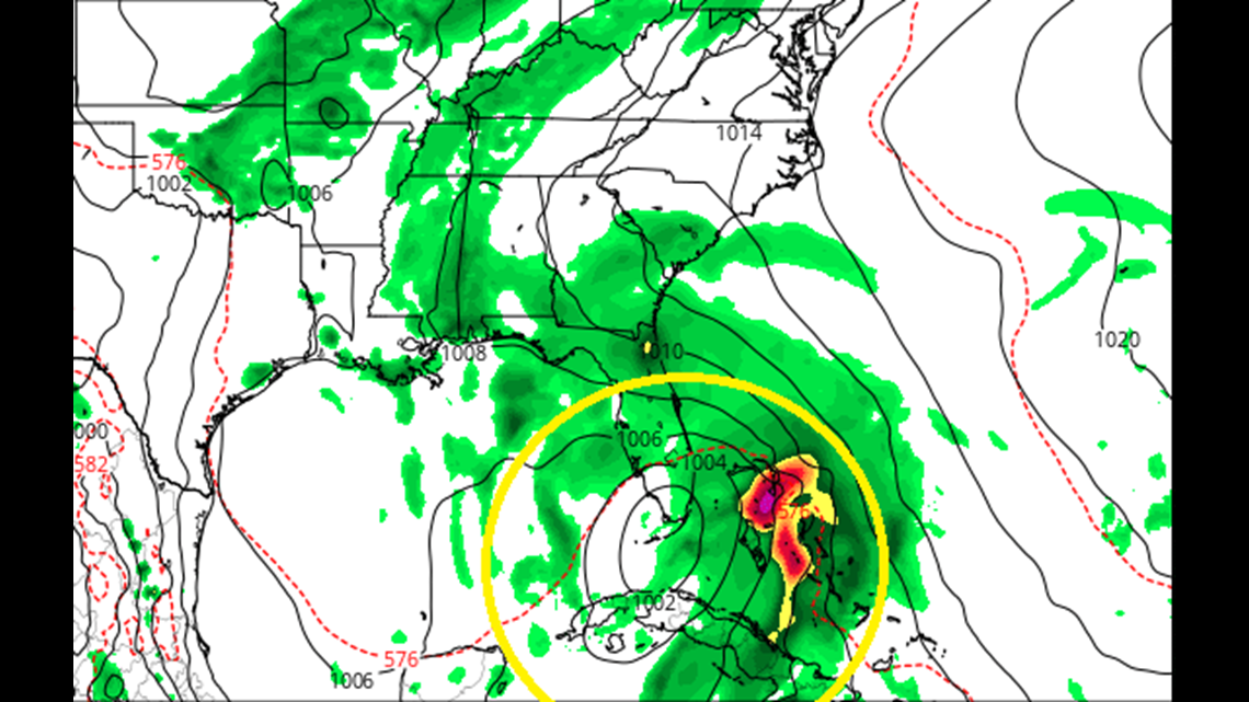
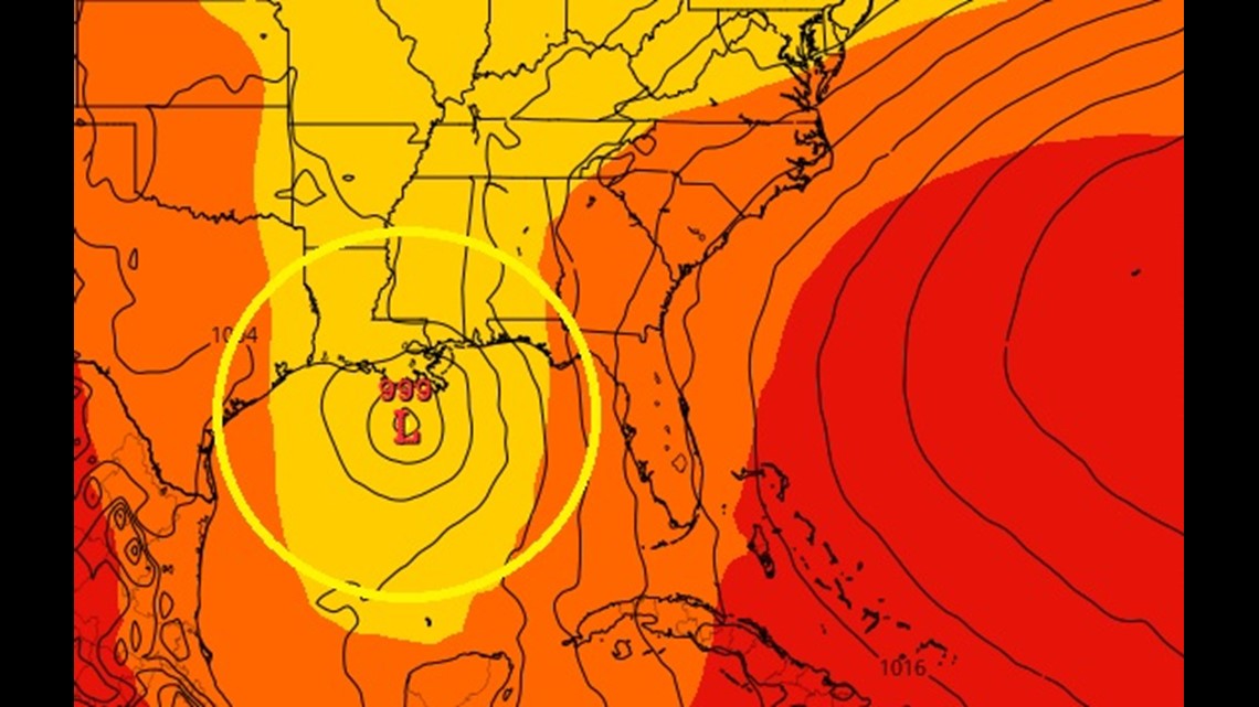
The only thing that has been anything but consistent is a potential track of a potential system. The European model is much further west with a storm pushing into Louisiana by Memorial Day, May 28th while the GFS takes a weak tropical storm into the tip of south Florida by Sunday the 27th and then up through the state exiting near Jacksonville.
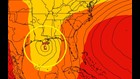
The above track analysis is just one of many. These tracks are like windshield wipers currently and are going back and forth with each run. Therefore it's too early to say where any potential storm could go -- if one even develops at all.
At this time there's no cause for concern but definitely something we need to watch. Areas from Brownsville to Key West need to be checking in on this system for the potential onset of heavy rain by next weekend.