HOUSTON — Words like "historic," "unprecedented," and "extreme" are being thrown around like eggs from a short-order cook. It's easy to dismiss these terms as hyperbole but rest assured, this freeze could rival the storied ones from decades ago and bring the first single digits to Houston in over 30 years and for only the fifth time in our history.
ARCTIC BLAST UPDATE: Temps well below freezing expected in Houston area; ice, sleet and snow possible
So just how extreme and rare is the freeze we're facing? Well, meteorologist Joe Bastardi from WeatherBell had this to say on Wednesday: "if this arctic outbreak were a hurricane, Texas would be taking a direct hit from a category 5." Pretty strong statement if you ask me.
Houston is no stranger to extreme freezes. The grandfather of freezes occurred almost at exactly the same time as this freeze back in 1899. The low temperature hit 6 degrees on two consecutive nights with a high temperature on the 13th of only 20 degrees--the coldest afternoon ever experienced in Houston.
Above is a list of the single digits we've previously seen before. The last time Houston hit the single digits was on December 23rd, 1989, just two days before Christmas:
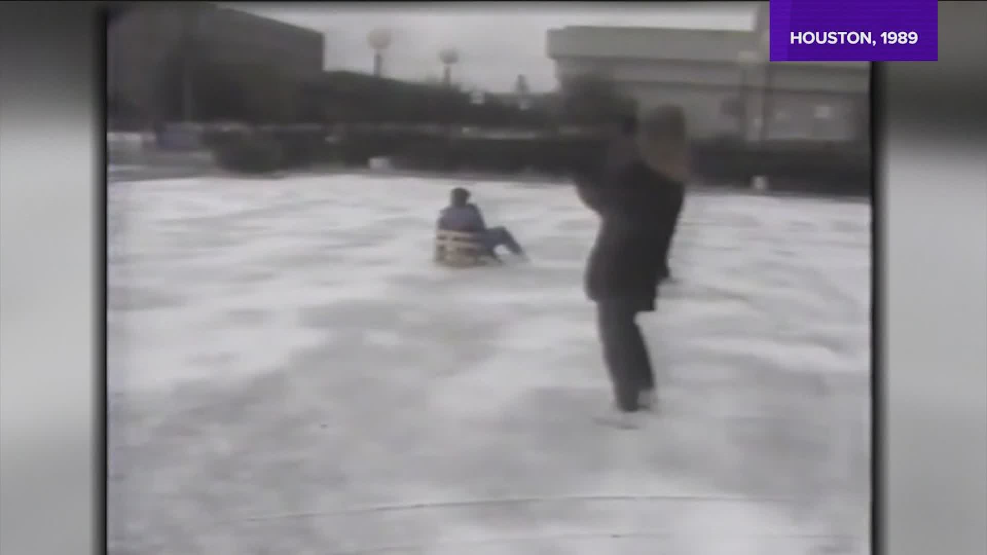
That freeze is long remembered for the amount of pipes that froze and broke in countless homes and businesses across the city. Many people were out of town for Christmas and came home to find their homes flooded from broken pipes.
The coldest temperature ever recorded at IAH was 7 degrees back in 1989. However, prior to 1969, IAH didn't exist and all temperature readings were taken downtown. That means the extreme numbers from 1930 and the late 1800s had to of been all the more impressive to get the heart of Harris County that cold.
It takes a very unique and special set of circumstances to get single digits in Houston and the setup that is required is almost exactly the setup needed for such extreme cold here in southeast Texas.
First you need a very strong area of high pressure to move out of the arctic and down the front range of the Rockies. That supplies the cold.
The next thing you need is a lot of snow pack to the north. Many areas from north Texas through Oklahoma and into the upper Mid-west are covered in snow. This snow cover allows for the arctic air to be transported south without moderation.
The third ingredient that helps is an intense disturbance to form and push through behind the arctic cold front. This does two things: one, it creates a huge winter storm that lays down a fresh layer of ice and snow across southeast Texas. That's currently in the forecast for Monday. Second, the wind flow around a low pressure area is counter-clockwise which means winds on the back side of the low are from the north. That northerly flow helps to pull in the extreme cold from the north.
You put all three of those together with a clearing sky as the low departs and you have the recipe for the first single digits in Houston in over 30 years. This is a three times per century set up and is exceedingly rare for this part of Texas.
Even if Houston avoids the single digits, it's going to be cold to the extreme and all pipes on the outside of the house and in the attic will be vulnerable. Make sure they're wrapped and all pvc pipes and backflow preventers wrapped and drained.
The freeze we're about to experience is certainly a twice, maybe three times, in a life-time event. What we're facing is truly history in the making, potentially.

