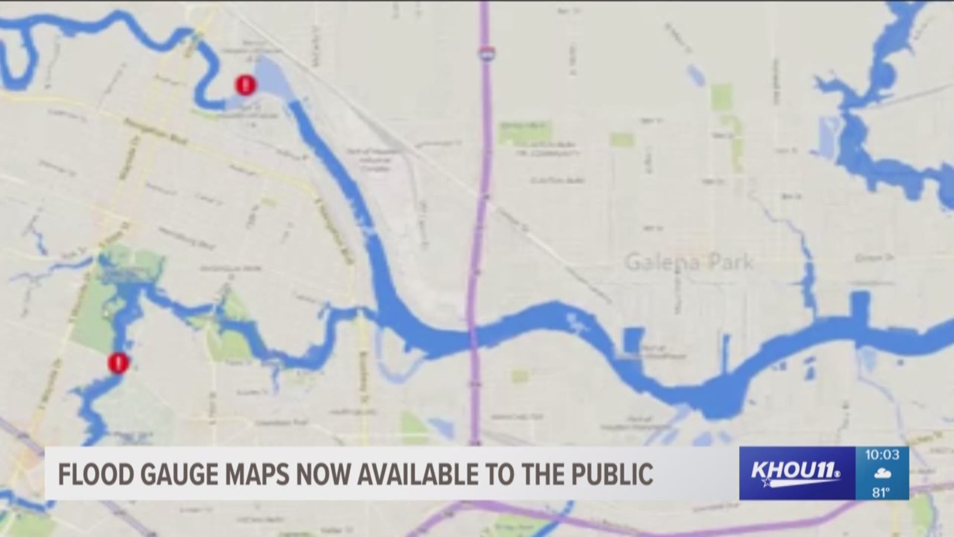
HOUSTON – If you live in Harris County, you no longer need to know the elevation of your home to plan flood evacuations. A new tool can show you in real time just how close a flood is to your front door.
It is a flood inundation map searchable by address on the county’s Flood Warning System website.
The next flood threat will come with warning. A system of gages mix radar and shoreline equipment along every Harris County Bayou and creek to measure water levels and feed the data to map makers in real-time. Users can even go back in time and compare recent flood stages to Hurricane Harvey and other past storms.
County authorities used the website during Hurricane Harvey to help make critical decisions about evacuations. They saw enough success to make it available for the public so homeowners can make better decisions for their homes, businesses and family.
“That was one of the big concerns about Harvey,” said Harris County Judge Ed Emmett. “Gosh, if I’d known just a few hours in advance, I could have put my furniture on the second floor. I could have done this. I could have done that. Or I could have evacuated sooner and not got trapped.”
The inundation map will not show water ponding on all roads or flooding from streams without gages. The warning system’s architects with the Harris County Flood Control district want to expand, though. Future plans involve linking gages in neighboring countings.
With a tropical disturbance headed for the Gulf of Mexico, county authorities hope to arm people with a tool to keep families out harms way.

