HOUSTON Five years ago on Sept. 12, 2008, Southeast Texas was boarding up, stocking up and hunkering down for the coming storm.
Hurricane Ike had whipped up in the eastern Atlantic, churned across Cuba and appeared aimed for the southern Texas coast. But the stubbornly unpredictable storm ultimately headed directly to Galveston Bay, prompting preparations for the first hurricane to hit the Houston area in more than two decades.
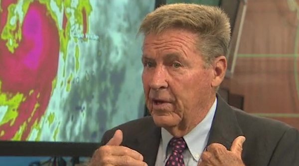
And Dr. Neil Frank, hurricane expert and retired KHOU meteorologist who s followed more storms than he can count, knew Houston was in trouble.
Well, the big thing about Ike was its size, he said. It was huge.
Anytime Neil Frank drops by the KHOU 11 newsroom, it s like Nolan Ryan visiting the dugout. Just like Ryan, he s a legend. Old friends hug him and young newcomers to the newsroom hold him in such awe, they occasionally take pictures with him just to prove they ve met him.
Truth be told, the newsroom uses just about any excuse it can find to coax him back here. And it doesn t take much, because he s so fascinated by hurricanes he will drive in from his home in Fulshear to talk to about them anytime. The fifth anniversary of Ike seemed like a fine time to sit down in the KHOU 11 News Weather Center to trade recollections about the last hurricane to hit Houston.
Ike s wind speed prompted the National Hurricane Center to classify it as Category 2 on the familiar Saffir-Simpson scale, but it was so massive it pushed a Category 4 storm surge toward the Texas coastline. That surprised many residents of low-lying areas like the Bolivar Peninsula, who remembered the nightmarish Hurricane Rita evacuation traffic jam of 2005 and decided to stay behind for what they thought would be a comparatively weak storm.
If the Hurricane Center had called it a Category 3 -- and I firmly believe that there was every good reason why it should ve been called a 3 -- then I think some of those people that decided to stay would ve gotten out, Frank said.
Instead, rising water blocked escape routes a day before the storm s eye hit, forcing Coast Guard helicopters to rescue dozens of people. At least 15 peninsula residents died, some of them sending heartbreaking text messages to family and friends in their final hours.
I knew that when we saw the size of this thing and the water that was beginning to move in ahead of it, I said, There s going to be a lot of destruction, Frank said.
The aftermath came as no surprise to Frank. After all, he notes, storm surges act like bulldozers, often clearing huge swaths of coastal land. Lumber and other debris act as battering rams, knocking down whole buildings.
During the Galveston hurricane of 1900, which killed an estimated 8,000 people, the storm surge created a moving wall of debris that destroyed every structure in its path.
Frank makes a habit of flying over the coastline every few years with a camera, snapping aerial pictures of buildings that he can later use in before-and-after photo layouts. His pictures from the Bolivar Peninsula were especially striking.
There was about 5,000 homes out there, he recalls. (About) 3,500 of them were totally wiped out. You go to Gilchrist, the little community beyond Rollover Pass. There were 500 homes there. Only two survived.
And yet, he warns, someday the destruction will be even more devastating when not if Galveston and Houston are hit by a Category 5 hurricane.
I don t know that there s any community in the nation that is ready for a Category 4 or a 5 ... he said. It s going to be stunning in terms of the damage. And this community will not be the same for five, 10 years.
So even though the current hurricane season has been freakish with the first Atlantic hurricane developing just this week, Frank warns that Houstonians shouldn t let their guards down.
I ve seen years when you get to mid-September and things just pop here and there, he said. And so, let s wait another six weeks. October the 18th, I think, is the latest we ve ever had a name storm on the upper Texas coast. And so, when we get to that date, I ll feel more comfortable.


