In fact, that satellite picture (below) of hurricane 'Joyce' in September of 2000 is a perfect example. That one was forecast to remain a hurricane for 3 more days. Instead, it completely dissipated into an open wave in 6 hours!


Deeper investigation into why the intensity forecast was so off revealed that the storm had moved into a deep layer of that Saharan dust while over the open Atlantic Ocean. The dust is very dry and creates a severe dry slot in the low and mid levels of the atmosphere. Hurricanes need a moist atmosphere to survive and that dry layer killed hurricane Joyce.


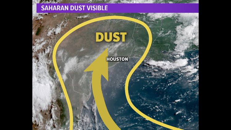
And there's more dust coming off the west coast of Africa now. Whether or not it makes it all the way to Houston again remains to be seen but one thing is for sure. For now, the conditions for tropical storm development over the Atlantic are very unfavorable for development, due in large part to the dust.


