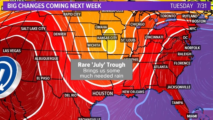
It's not unheard of to get a trough like this in the middle of summer, but this pattern looks more like something we'd expect to see in November. This dip in the upper level winds next week will push a cold front into Houston and all the way off into the Gulf by mid week. It means rain for us and of course the cooling that comes with the rain.


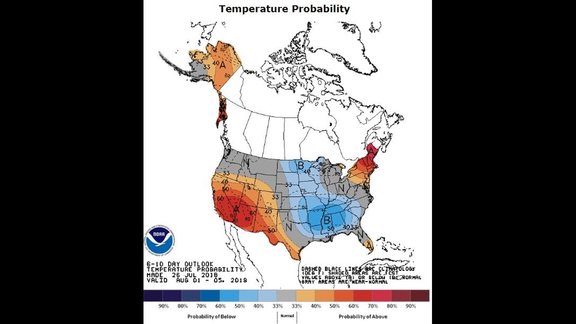
Above you see NOAA's 6-10 day temperature outlook. That blue area with the letter 'B' in it means below normal temperatures are expected across the central and southern plains. High temps may only get into the 60's and 70's from Arkansas to Minnesota.


As for rain, NOAA's outlook (above) paints the Texas coast and Houston in the 'green' above normal rainfall expected zone for next week. Rain and welcome relief from the Texas heat is on the menu for next week.


