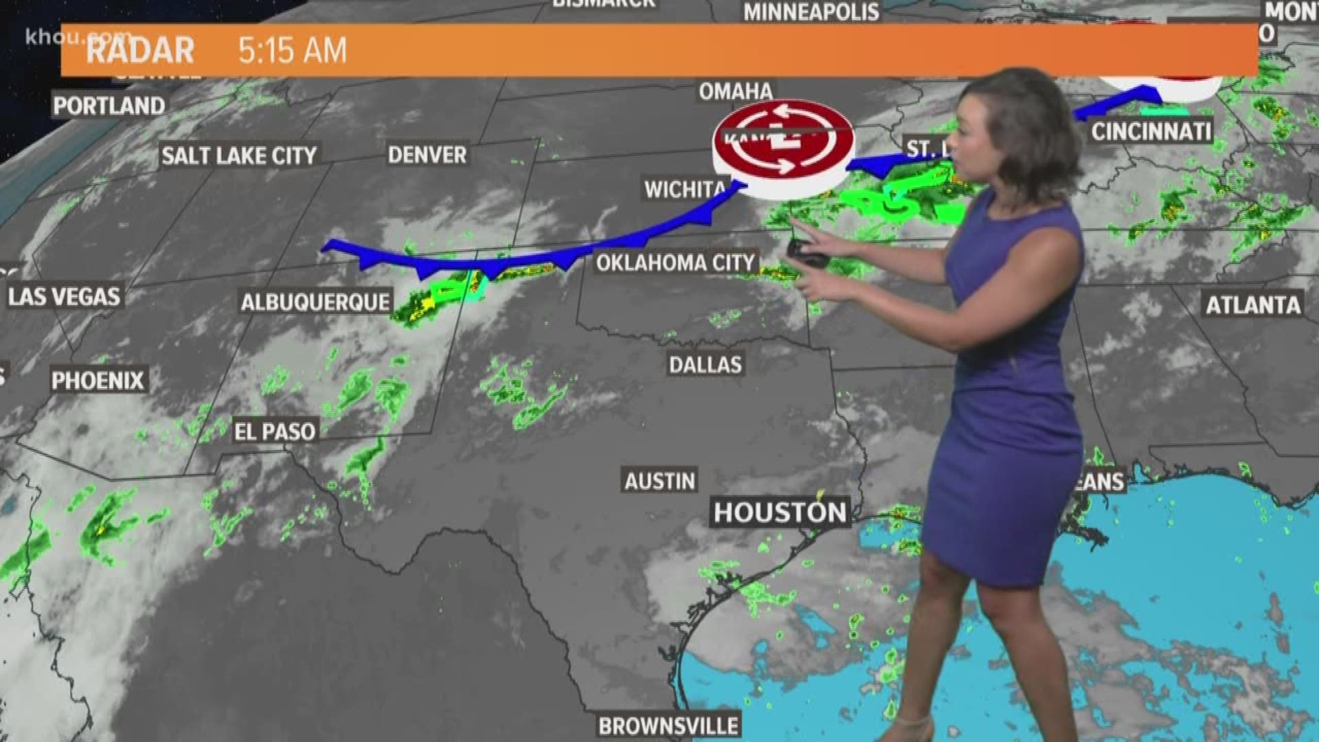
Southeast Texas is in for a treat! A 'cold' front is making it's way through Texas and will push through the Houston area early Tuesday morning.
What does this mean? Low humidity. A break from the insta-sweating. No dangerous heat index values to worry about this week, and lots of sunshine once the front officially moves through.
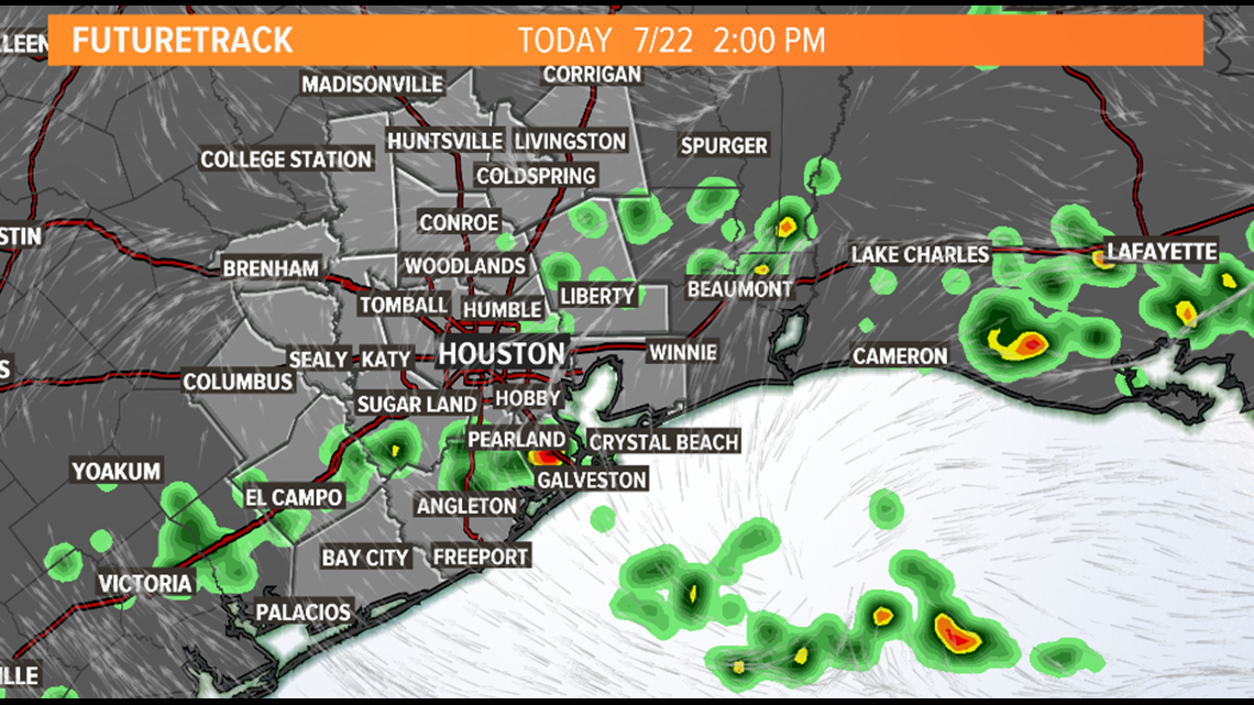
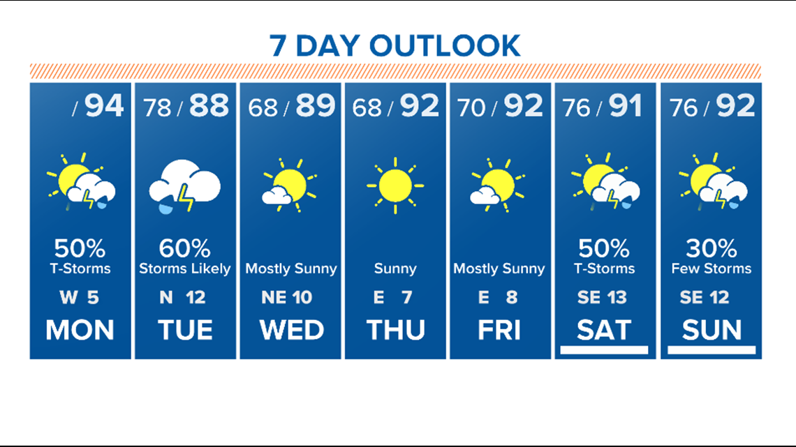
MONDAY | It's still going to be hot and humid today, as we are still ahead of this front. Highs will be in the mid-90s with feels like temperatures near 100 degrees. Scattered showers and thunderstorms will be possible through the day with a few strong storms but most should stay below severe criteria.


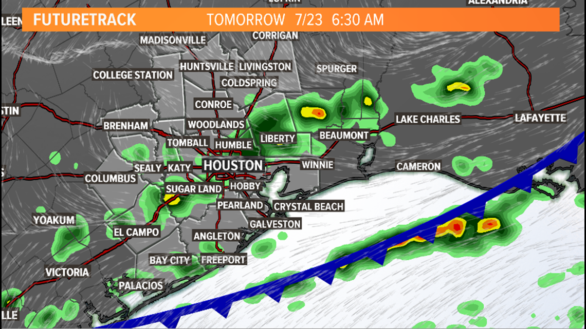
TUESDAY MORNING | The much anticipated front will reach our area overnight/very early Tuesday morning. Expect scattered showers and storms along the frontal boundary with winds shifting to a north wind behind the front.


The frontal boundary should be out in the Gulf of Mexico by mid to late morning. A few lingering showers will be possible before the dry air settles in by Tuesday afternoon.


With low humidity in place, morning lows will be able to cool down to the upper 60s Wednesday and Thursday morning. We may even see a few record low temperatures across the region. Lots of sunshine will follow this front bringing a pleasant second half to the work week before rain chances return this weekend.


